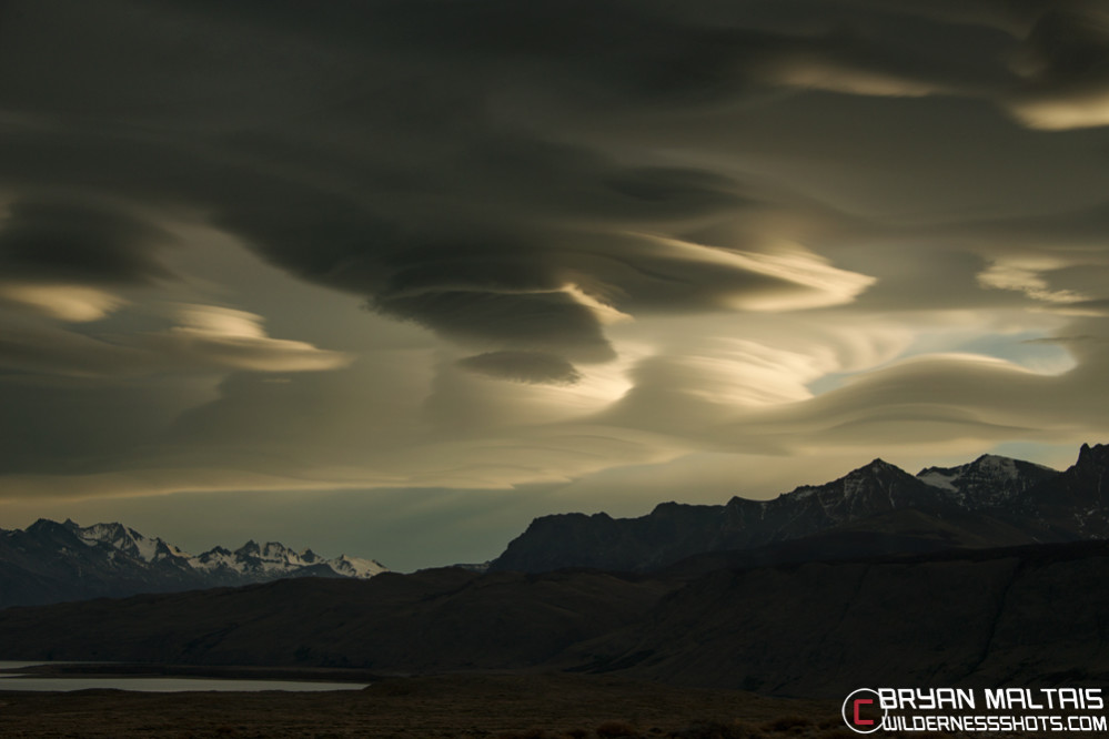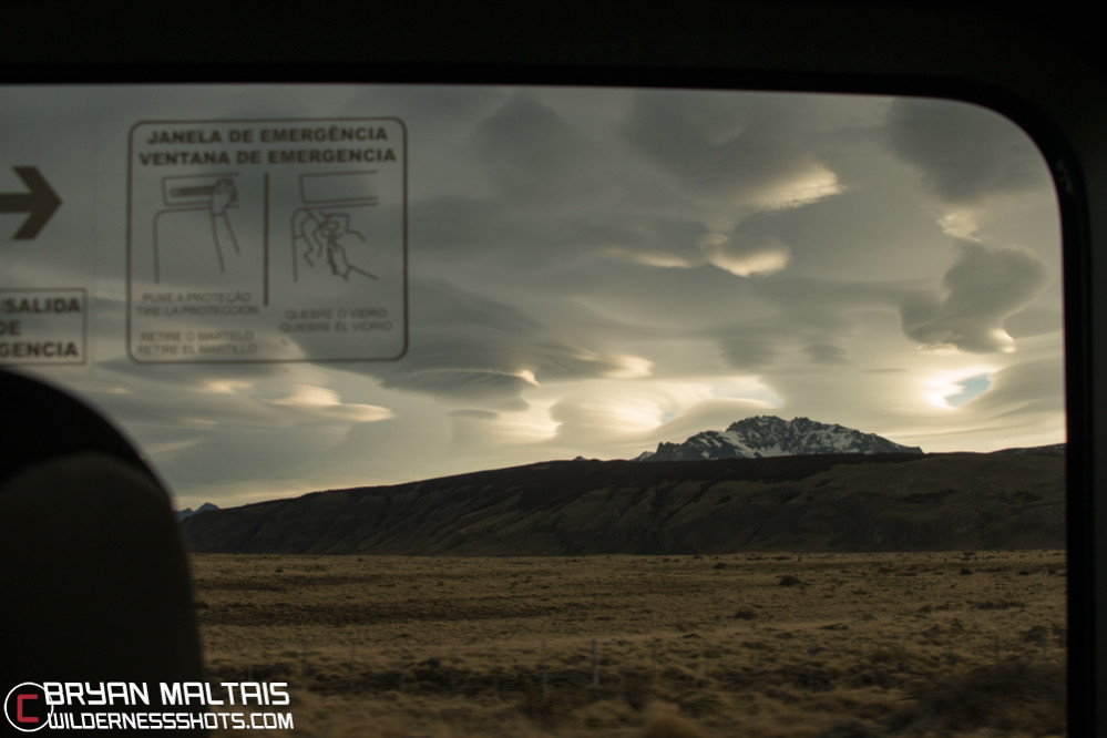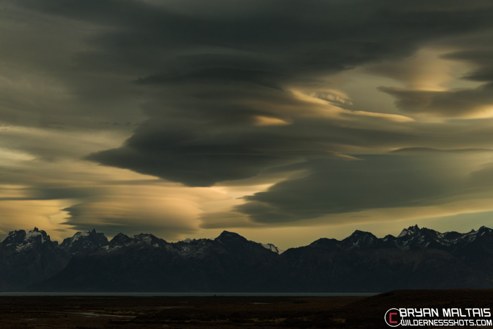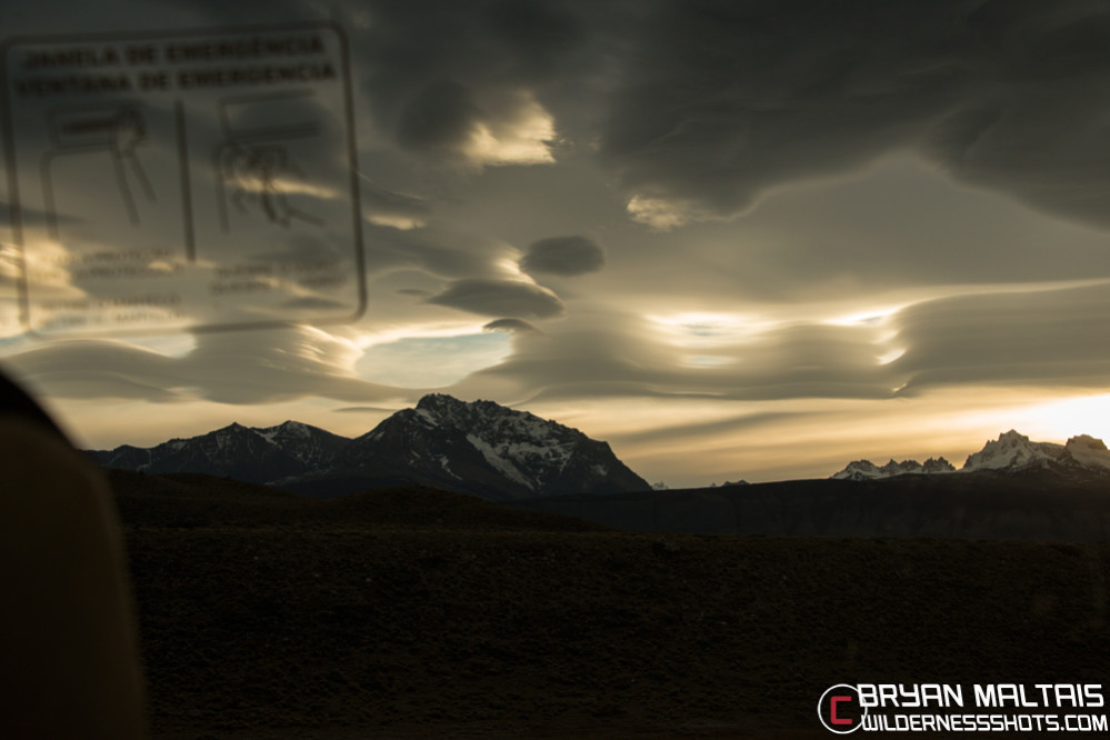

A rare sky like this with deeply layered Lenticular clouds would be most photographers’ “dream” sky to capture at sunset. Unfortunately, I was trapped on a bus in Argentina between El Chalten and El Calafate when these clouds formed. I was secretly going crazy that I couldn’t get out and shoot a properly composed photo, and if I wanted even a quick snapshot of them, it would have to be through the bus window. So I shot these photos at about 60 mph through tinted glass, with people leaning back to make way for my lens. I pushed my camera settings to minimize motion blur, noise, and distortion, and I’m amazed at what my camera was able to pull off when viewing these files at 100%. I actually got what I’d consider at least 1 keeper.
Lenticular clouds form when ground objects such as mountains force moisture-laden air currents higher up into cooler air masses. When the temperature of the cooler air mass is below the dew point, the moisture in the air condenses to form Lenticular clouds. The shape of Lenticular clouds is produced when fast moving air currents slam into disruptive ground objects, which cause the air to flow in striated waves. As the air current flows out of the cold air mass and back into warmer temperatures, its moisture evaporates back into vapor. Therefore, Lenticular clouds appear to be stationary, but it’s really the cold air mass that’s relatively stationary, while the moisture that forms the cloud is flowing through the cold air. Lenticular clouds get their name from the Latin “Lenticula”, meaning lens shaped, and so do Lentil Beans.